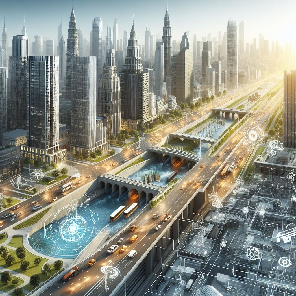
In recent years, Urban Planning has evolved considerably with the emergence of innovative technologies, and among them, BIM stands out. In this post, we will address initial notions of how BIM is being applied in the context of Urban Planning, exploring its implications, benefits, and challenges towards a more efficient and data-driven urbanization.
First and foremost, it is important to understand the basic concepts related to Urban Planning and Smart Cities.
What is Urban Planning and what are its Basic Concepts?
Urban Planning can be defined as the process of organizing and developing urban areas, taking into account various aspects such as land use, infrastructure, transportation, housing, environment, among others, in order to ensure sustainable growth and the quality of life of inhabitants.
Below, we will address the main concepts of Urban Planning in more detail.
Land Use: Defines how different urban areas will be used, such as residential, commercial, industrial, among others, and seeks to ensure an equitable and efficient distribution of these zones.
Zoning: Consists of dividing the urban territory into zones with different regulations and restrictions, aiming to control land use and ensure compatibility between activities carried out in each area.
Transportation: Encompasses the planning of public and private transportation systems, road infrastructure, bike lanes, sidewalks, and other forms of urban mobility, aiming to ensure accessibility and efficiency in the movement of people and goods.
Housing: Involves policies and strategies to ensure access to decent and affordable housing for the entire population, considering aspects such as population density, construction standards, land regularization, and housing programs.
Environment: Includes measures to protect and preserve natural resources, green areas, biodiversity, and urban ecosystems, as well as to promote sustainable development practices and mitigate negative environmental impacts.
Economic Development: Aims to promote balanced and sustainable economic growth of the city, stimulating investments, job creation, economic diversification, and the development of industrial and commercial areas.
Community Participation: Involves promoting active participation of citizens in the urban planning and management process, through public consultations, hearings, municipal councils, and other forms of engagement, aiming to ensure that policies and projects reflect the needs and aspirations of the community.
What are Smart Cities and what are their Basic Concepts?
Smart Cities are urban centers that use technology and innovation to improve the quality of life of their inhabitants, promote sustainable and efficient development, and enhance the management of urban resources. These cities employ technological solutions in various areas, such as transportation, energy, environment, health, security, education, and governance, to make urban services more efficient, accessible, and sustainable.
Below, we will address the main concepts of Smart Cities in more detail.
Technology and Connectivity: The extensive use of information and communication technology (ICT) to connect urban infrastructures, devices, and systems, enabling the collection, analysis, and sharing of data in real-time.
Efficiency and Sustainability: Focus on energy efficiency, natural resource management, reduction of carbon emissions, and promotion of sustainable practices to ensure urban development in an environmentally responsible manner.
Quality of Life: Improvement of the quality of life of citizens by providing equitable access to essential services, such as efficient public transportation, quality healthcare, education, public safety, and well-designed public spaces.
Citizen Participation: Active involvement of citizens in the decision-making process and co-creation of urban solutions through public participation tools, mobile applications, social media, and other engagement platforms.
Urban Mobility: Promotion of intelligent and integrated transportation systems, including high-capacity public transportation, bike sharing, electric cars, and sustainable mobility solutions to reduce congestion and improve accessibility.
Smart Data Management: Utilization of big data, data analytics, artificial intelligence, and other technologies to collect, process, and interpret urban information, assisting in decision-making and providing more efficient and personalized urban services.
Innovation and Entrepreneurship: Encouragement of innovation, entrepreneurship, and collaboration between public, private, and academic sectors to develop creative and adaptable solutions to urban challenges, fostering economic and social development.
What is the correlation between Urban Planning, Smart Cities, and BIM?
The correlation between these three concepts lies in the fact that BIM can be a powerful tool to support Urban Planning and the implementation of Smart City initiatives. For example:
Development of Urban Infrastructure: BIM can be used to model and simulate the development of urban infrastructures, such as transportation systems, water and energy distribution networks, telecommunications networks, and waste management systems. This allows for a more comprehensive analysis of the impacts and costs associated with different planning scenarios, helping urban planners to make more informed decisions.
Design and Construction of Sustainable Buildings: In the context of Smart Cities, BIM is used to design and construct sustainable and energy-efficient buildings. BIM models allow for energy performance analysis, identification of optimization opportunities, and simulation of efficiency strategies, such as the integration of renewable energy, lighting and ventilation control systems, and eco-friendly building materials.
Integration of Urban Systems: BIM facilitates the integration of different urban systems, such as transportation, energy, water, and telecommunications, into a unified digital platform. This allows for more efficient and coordinated management of urban services, improving connectivity, interoperability, and resilience of urban infrastructures.
Planning and Management of Public Spaces: BIM can be used to model and visualize urban public spaces, such as parks, squares, sidewalks, and recreational areas. BIM models allow for a more accurate analysis of accessibility, safety, comfort, and usability of these spaces, facilitating urban planning and management oriented by design.
Monitoring and Maintenance of Infrastructures: After construction, BIM continues to be used for monitoring and maintenance of urban infrastructures. BIM models can be updated with real-time data on the performance and condition of infrastructures, allowing for proactive management of operations and maintenance, early detection of problems, and data-driven decision-making.
Building the Urban Future: The Transformative Role of BIM on the Path to Smart Cities
In summary, the integration of BIM into Urban Planning points to a promising future in building Smart Cities. By incorporating BIM into urban projects, a wide range of possibilities is opened for creating more efficient, sustainable, and adaptable urban environments.
Through detailed digital modeling, data analysis, and simulations, BIM provides a more precise approach to urban decision-making, enabling planners and managers to address the complex challenges of modern cities more effectively. As we move towards Smart Cities, BIM will continue to play a crucial role in transforming urban spaces, empowering cities to achieve more equitable, sustainable, and well-being-oriented urban development for their inhabitants.


Deixe um comentário