


In recent years, BIM has revolutionized the way infrastructure projects are executed and managed. In the context of urban drainage, this innovation is no exception, bringing with it a set of tools and approaches that promise to significantly optimize the planning and management of drainage systems in urban environments. In this post, we will explore the initial applications of BIM in the field of urban drainage, highlighting its benefits, challenges, and future prospects for the sustainable development of cities more resilient to weather extremes.
What is Urban Drainage?
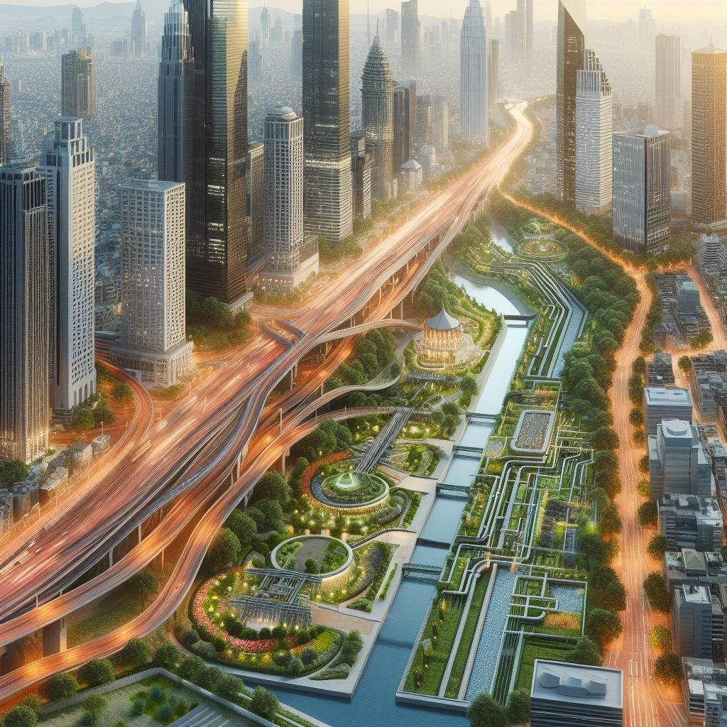
Urban drainage is the set of measures and techniques used to control and manage the runoff of rainwater in urban areas, aiming to prevent floods, waterlogging, and other problems resulting from excess water. This involves the construction and maintenance of systems for the collection, transport, and storage of rainwater, as well as the implementation of sustainable practices to minimize environmental impact.
Why is Urban Drainage Important with the Growth of Cities?
Urban drainage plays a crucial role in the context of city growth for several reasons. Firstly, increased urbanization often leads to greater soil sealing due to the construction of buildings, roads, and other urban elements, reducing the natural soil’s ability to absorb rainwater. This can lead to floods and waterlogging if adequate drainage measures are not implemented.
Furthermore, city growth often implies an increase in paved areas, which increases the speed and quantity of water flowing into drainage systems during storms, overloading existing infrastructures. Effective urban drainage is essential to mitigate these impacts and ensure the safety and well-being of urban residents, protecting vital properties and infrastructures.
Additionally, urban drainage plays an important role in the environmental management of cities, helping to prevent water pollution by removing sediments, debris, and pollutants carried by rainwater. This contributes to preserving the quality of water bodies and urban aquatic ecosystems, promoting environmental sustainability in growing urban areas.
In this scenario, how can BIM help improve Urban Drainage in Cities?
Building Information Modeling (BIM) offers an integrated and collaborative approach to the planning, design, construction, and management of infrastructure, making it a powerful tool for improving urban drainage in cities.
Firstly, BIM allows for the creation of detailed digital models that accurately represent all elements of drainage infrastructure, from pipe networks to rainwater collection systems and flood control structures.
These models enable comprehensive and precise analysis of the drainage system’s performance in different climatic and land use scenarios, facilitating the identification of weaknesses and optimizing the design to maximize hydraulic efficiency and reduce the risk of floods and waterlogging.
Moreover, BIM facilitates the integration of geospatial data and topographic information, allowing for a better understanding of the urban context and terrain conditions, which is essential for effective drainage planning. BIM’s interoperability also promotes collaboration among different stakeholders, such as engineers, architects, urban planners, and municipal authorities, facilitating informed decision-making and efficient coordination of urban drainage projects.
Another benefit of BIM in improving urban drainage is its ability to facilitate real-time simulation and visualization of flood scenarios, allowing urban planners and managers to assess the impact of extreme events and implement appropriate mitigation measures.
Where should I initially use BIM to improve Urban Drainage?
Below, I outline five different initial applications that can be used to enhance Urban Drainage through BIM. These suggestions are not mandatory and do not necessarily need to be implemented in this sequence. Results from BIM usage can be obtained gradually, but when implemented early, they can yield early results. The recommendations are as follows:
Detailed mapping of existing infrastructure: Use BIM to create detailed models of the existing urban drainage infrastructure, including pipe networks, manholes, channels, and rainwater collection systems. This will provide a comprehensive understanding of the current infrastructure and help identify areas of deficiency or potential problem spots.
Capacity and performance analysis: Use BIM to conduct detailed analyses of the capacity and performance of the drainage system under different climatic and land use conditions. This will allow you to assess the rainwater runoff capacity, identify congestion areas, and determine where improvements or upgrades are needed in the existing infrastructure.
Flood scenario simulation: Use BIM to simulate flood scenarios in vulnerable areas of the city, allowing urban planners to better understand the potential impacts of extreme events and develop effective mitigation strategies. This includes identifying flood risk areas and evaluating the performance of control measures such as dykes and gates.
Integration of geospatial data: Integrate geospatial data and topographic information into BIM models to provide an accurate representation of the urban context and terrain characteristics. This will help identify areas of irregular terrain or prone to flooding and properly plan the location of drainage infrastructure and flood control measures.
Coordination and collaboration: Use BIM as a collaboration platform to facilitate communication and coordination among different stakeholders involved in urban drainage planning and management, including engineers, architects, urban planners, and municipal authorities. This will promote an integrated and multidisciplinary approach to the development of effective and sustainable drainage solutions.
BIM: Shaping the Future of Urban Drainage
As cities continue to face challenges arising from urban growth and climate change, the integration of BIM methodology into urban drainage management emerges as a promising solution to address these challenges more effectively and sustainably.
The initial applications of BIM in urban drainage infrastructure projects offer a unique opportunity for municipal authorities and industry professionals to address issues related to flooding, waterlogging, and rainwater pollution with a data-driven approach, accurate simulations, and multidisciplinary collaboration. By investing in the continuous development and implementation of these innovative technologies, cities can not only improve the resilience of their drainage infrastructures but also promote sustainable urban development and improve the quality of life for their citizens.
The future of urban drainage is intrinsically linked to the transformative potential of BIM, and it is imperative that we continue to explore and enhance these tools to build safer, more efficient, and more resilient cities in the face of constantly evolving global challenges.
Deixe um comentário